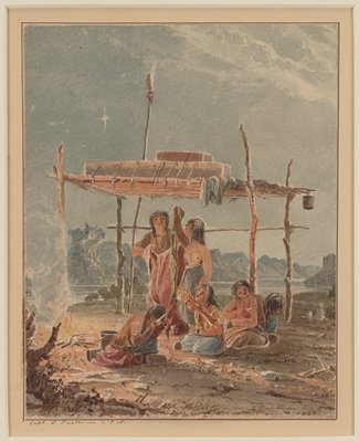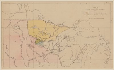
Map Showing the Present Boundaries of the Ojibwa, Menomonee, Winnebago, and Dakotah Tribes of Indians 1851
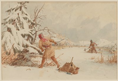
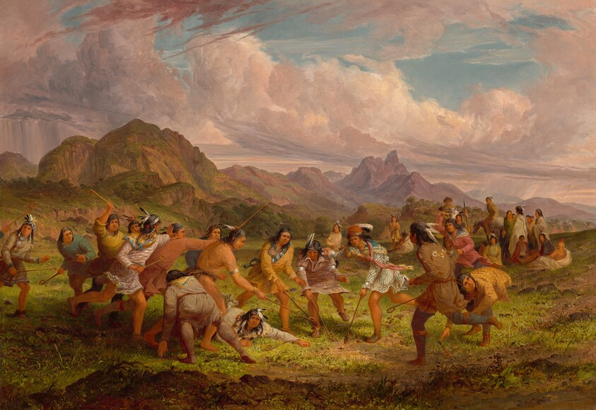
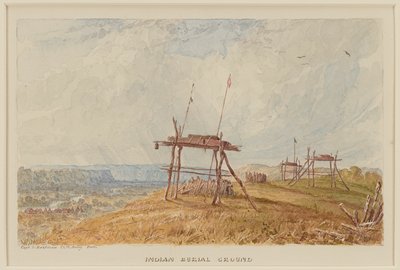
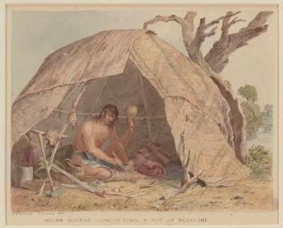
Seth Eastman
1851
- Medium
- Pen, ink, and watercolor
- Dimensions
- 8 × 12 1/2 in. (20.3 × 31.8 cm) (image) 9 3/4 × 13 in. (24.8 × 33 cm) (sheet) 17 9/16 × 21 1/2 × 1 1/8 in. (44.6 × 54.6 × 2.9 cm) (outer frame)
- Genre
- Drawings
Tags
United States
About
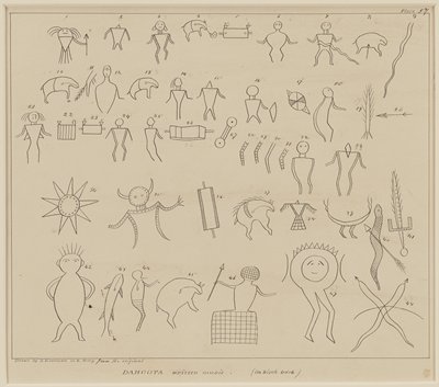
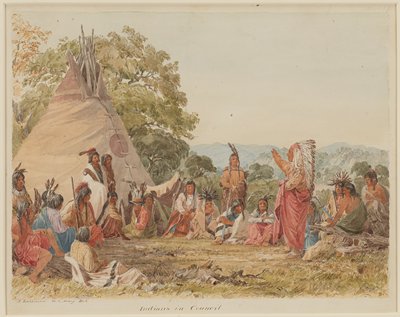
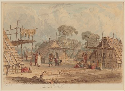
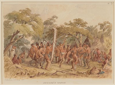
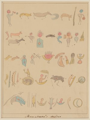
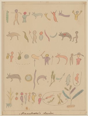
U.S. Army Captain Seth Eastman was a trained artist who served twice on the frontier at Minnesota’s Fort Snelling, from 1830 to 1832 and again from 1841 to 1848. He loved map-making and even wrote a textbook on topographical drawing used at West Point, his alma mater. This work belongs to an extensive series that he made between 1849 and 1855 to illustrate Henry Rowe Schoolcraft’s monumental study Historical and Statistical Information Respecting the History, Condition, and Prospects of the Indian Tribes of the United States (Philadelphia: Lippincott, Grambo & Co., 1851-57). Mia’s 35 watercolors and drawings for the project represent an astounding array of subjects: muskrat hunting, fish spearing, pest control, rice gathering, maple sugaring, shelter, travel, medicine, mourning, dancing, civics, and topography. With such variety and Eastman’s well-informed clarity of depiction, they constitute an unparalleled visual account of native ways in our region.